Tropical Storm Edouard or a depression could soon form in the Gulf

Daftar Isi
Gulf System Set to Deliver Dangerous Flooding Rain to Texas and Louisiana Coasts
Activelifezero.com – Residents along the Texas-Louisiana shoreline should brace for potentially life-threatening rainfall as a developing tropical system moves from the open Gulf waters toward landfall within roughly 36 hours. The National Hurricane Center projects the system will slide ashore near the state border between Monday night and Tuesday morning, bringing sustained heavy downpours that could overwhelm drainage infrastructure and turn roadways into temporary rivers.
What the System Is and When It Organizes
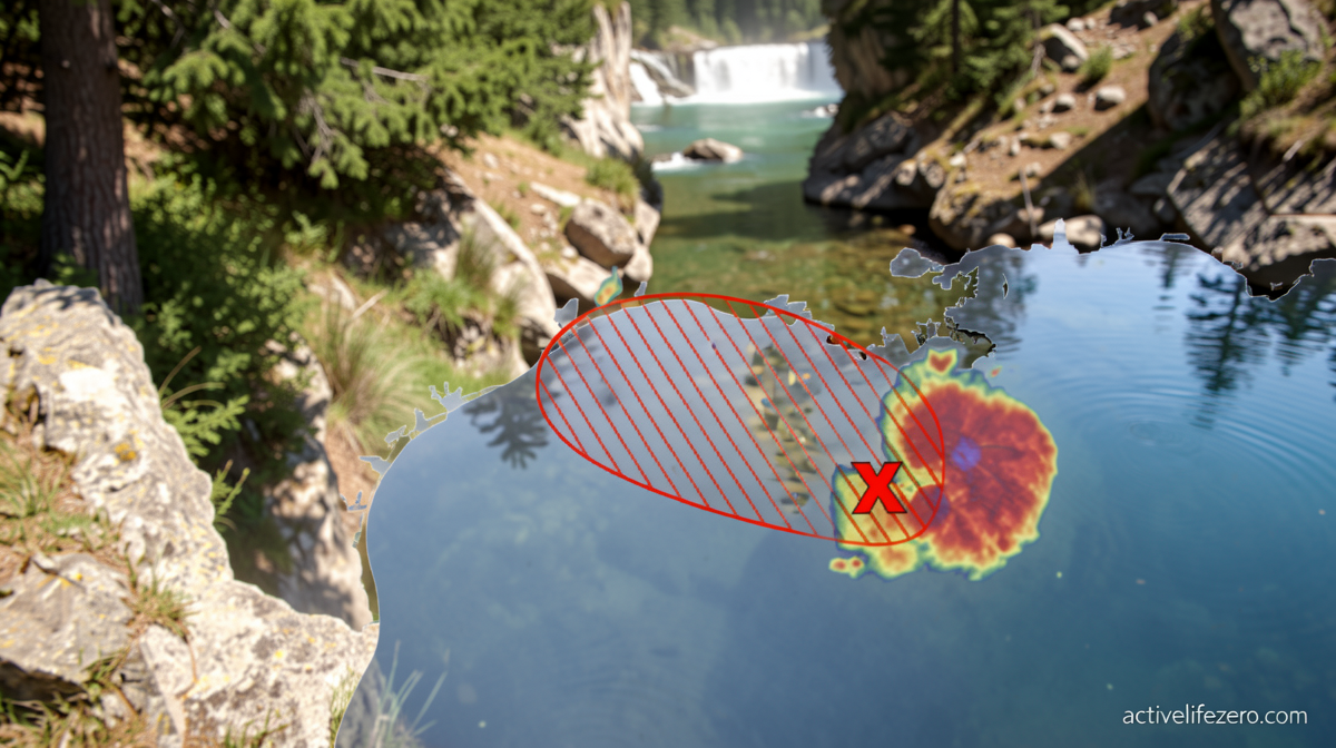
A cluster of heavy rain and thunderstorms sitting approximately 100 miles south of the Louisiana coast carries enough organization to spin up into either a tropical depression or a full tropical storm. The next name in the Atlantic basin rotation is Edouard (pronounced eh-DWARD), and that label could be applied as early as Monday morning once the Hurricane Hunters aircraft fly directly into the circulation and confirm its structure.
The system’s lifespan over open water will be brief. Forecasters at the National Hurricane Center expect it to lose its tropical character almost immediately after making landfall, meaning the most dangerous phase for coastal communities will be the final hours before and shortly after touchdown.
Tropical storm watches or warnings may be issued later Monday for stretches of both states’ coastlines, giving residents a narrow window to secure loose objects, charge backup power sources, and plan alternate routes away from low-lying areas.
Rainfall: The Primary Hazard
Regardless of whether the system earns the “tropical storm” designation or remains a depression, the rainfall threat dwarfs any wind concern. The National Weather Service has placed southeast Texas, including the greater Houston metropolitan area, under a Level 2 of 4 risk for flooding rainfall spanning both Tuesday and Wednesday. That designation signals a significant threat of localized flooding, and forecasters have noted the level could be elevated in subsequent updates as model runs sharpen.
Point rainfall totals of six inches are possible in isolated pockets, driven by rain rates as intense as two to four inches per hour. At those rates, even short-duration downpours can produce flash flooding on streets, in parking structures, and in low-lying neighborhoods within minutes. Drivers should treat any standing water on roadways as a no-go zone, since just a few inches of moving water can float a standard passenger vehicle.
Along the immediate coastline, the most organized rain bands of the system may generate tropical storm-force wind gusts. Those gusts carry enough energy to down scattered power lines and snap tree limbs, producing spotty outages that could last hours or longer if crews must work in wet conditions.
A Muted Season Shaped by El Niño
This short-lived system fits a pattern the 2026 Atlantic season has established: brief, weak disturbances that form, intensify only marginally, and collapse within a day or two. As of August 30, seasonal activity was running roughly 11 percent below the climatological average by one standard measure. The most recent named storm, Dolly, disintegrated in the open Atlantic on August 28 after existing for barely 24 hours. Cristobal met the same fate in the northern Atlantic on August 13. Earlier in the summer, Arthur and Bertha each had brief, uneventful shelf lives over the Gulf in June and July respectively.
The dominant driver behind this suppression is a strengthening El Niño, which some forecasters describe as potentially record-breaking in magnitude. El Niño shifts the upper-level wind patterns over the tropical Atlantic and Caribbean, producing unusually strong and widespread wind shear. That shear acts as a mechanical shredder for tropical systems, tearing apart anything from nascent circulations to fully developed hurricanes. It is the principal reason seasonal outlooks have called for a below-average year overall.
Leftover showers and thunderstorms from former Tropical Storm Dolly were still tracking westward toward the Turks and Caicos and the Bahamas at the time of reporting, though the probability of those remnants reorganizing into a new tropical depression or storm was assessed as low.
The Longest Wait for a First Hurricane Since 2022
The Atlantic basin’s first hurricane of 2026 is now nearly three weeks later than the climatological average. That places the current gap at the longest stretch without a hurricane since 2022, when Danielle finally formed on September 2. Satellite-assisted records dating back to 1966 show the latest first hurricane on record occurred on September 11, a mark shared by Gustav in 2002 and Humberto in 2013.
September traditionally marks the peak of Atlantic hurricane season. Sea-surface temperatures reach their annual maximum after absorbing months of summer solar heating, supplying the thermal fuel storms need to form and intensify. Simultaneously, wind shear typically relaxes, removing the primary mechanical obstacle to development. This year, however, the El Niño-driven shear anomaly has kept those favorable conditions at bay, delaying the season’s first hurricane well past its usual window.
Why Vigilance Still Matters
A below-average season does not mean a storm-free season. Windows of opportunity—brief periods when shear relaxes just enough and a favorable upper-level outflow pattern aligns—can still allow a disturbance to organize, intensify, and threaten populated coastlines. Communities along the Gulf and eastern seaboard should continue monitoring official forecasts, maintain emergency kits, and know their evacuation routes well before the next system organizes. The margin between a harmless shower and a dangerous tropical event can close within a single day, and the consequences of being unprepared are measured in lives and infrastructure, not in forecast percentages.
Meteorologist Tyler Ory contributed to this report.
Related Reading
Frequently Asked Questions
What is Tropical Storm Edouard or a depression?
Tropical Storm Edouard or a depression is the main topic of this guide. The article explains the context, practical details, and next steps readers should understand.
Why does Tropical Storm Edouard or a depression matter?
Tropical Storm Edouard or a depression matters because readers are looking for a useful answer, not just a short summary. Good content should match search intent and help them decide what to do next.