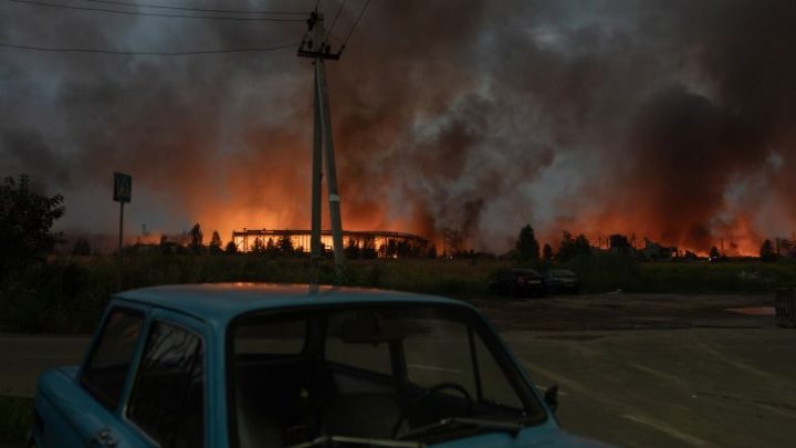
Daily barrages of intense storms threaten flooding, damage in the Northeast … again


Daily Barrages of Intense Storms Hit Northeast
Activelifezero.com – From Sunday through at least Thursday, the Northeast United States has been subjected to daily barrages of intense storms, with virtually no dry interval separating one round of heavy rain from the next. Communities across New England, New York, New Jersey, and Pennsylvania face repeated threats of flash flooding, destructive wind gusts, hail, and scattered tornadoes. For areas already strained by earlier storm episodes in recent weeks, this latest sequence compounds damage to drainage infrastructure, roadways, and household property.
What Is Driving the Repeated Storm Events
A persistent heat dome parked over the southern United States is the primary atmospheric engine. That dome of trapped, record-challenging heat acts as a thermal wall, forcing the jet stream to bend northward and thread directly through the Northeast corridor. Because the jet stream is the high-altitude highway along which mid-latitude storm systems travel, this distortion delivers a near-continuous supply of storm events day after day, leaving the atmosphere no time to recover.
The compounding effect of saturated ground makes every subsequent rainfall event more dangerous. Soil that has already absorbed days of precipitation cannot absorb additional water, so runoff surges into streets, creeks, and small rivers at rates far exceeding what dry terrain would permit. Even storms that never reach severe classification can trigger localized flooding when they strike already-soaked areas.
Even moderate rainfall rates can overwhelm drainage and push small streams over their banks when the ground beneath them is already saturated from prior days’ storms.
Day-by-Day Threat Profile: Tuesday Through Thursday
Tuesday delivered showers and thunderstorms across portions of New England, New York, New Jersey, and Pennsylvania. Morning cells were non-severe but persisted into the afternoon with isolated flooding potential. A second, more organized round of severe thunderstorms developed late afternoon near southern New York before tracking southward and eastward into the evening. Damaging wind gusts were the dominant hazard, with hail and a small number of tornadoes also possible.
Wednesday followed a similar daily template but with a markedly elevated severity profile. Morning storms near the eastern Great Lakes weakened before a second, more potent afternoon round built. The critical distinction: a handful of supercell thunderstorms may develop. Supercells are rotating, long-lived structures that generate stronger sustained winds, larger hail, and longer-lived tornadoes than ordinary multicell or squall-line storms. Broader lines of thunderstorms could also organize, widening the spatial footprint of wind damage.
By Thursday, the main storm axis peels southward. Nevertheless, isolated flooding persists across southern New England, eastern New York (including New York City), New Jersey, and Pennsylvania. The most intense storms—carrying damaging winds and hail—concentrate over the Mid-Atlantic corridor, including Washington, D.C., with portions of southern Pennsylvania and southern New Jersey clipped by outer edges. The peak damaging window runs from late afternoon into the evening.
Friday and the Weekend: A Temporary Pause
The Northeast is expected to dry out on Friday and remain largely storm-free through the weekend. That pause, while welcome, does not erase the cumulative damage already inflicted by weeks of repeated storm events. Communities face cleanup operations, insurance claims, and infrastructure repairs while meteorologists monitor whether the heat dome and its jet-stream distortion persist into the following week. Daily barrages of intense storms of this magnitude are not isolated anomalies; they represent a recurring seasonal pattern that strains preparedness systems year after year.
Frequently Asked Questions
How long will the storm cycle last? Based on current forecasts, the daily barrage pattern extends through at least Thursday. Friday and the weekend are expected to bring a break, though the heat dome’s persistence into the following week remains under monitoring.
What should residents do before each daily storm round? Clear drains and gutters, move vehicles out of low-lying areas, and keep flashlights and batteries accessible. Because saturated ground amplifies flooding risk, even brief downpours can produce street-level water quickly—do not drive through standing water.
Why do supercells matter more than ordinary thunderstorms? Supercells produce stronger sustained winds, larger hail stones, and longer-lived tornadoes. If Wednesday’s afternoon forecast materializes, residents in the affected corridor should seek sturdy shelter and monitor local warnings closely.
Is this pattern linked to broader climate trends? A persistent southern heat dome distorting the jet stream northward is consistent with observed shifts in atmospheric circulation. Meteorologists note that weeks of repeated storm events, with minimal recovery time between them, place extraordinary cumulative stress on drainage and infrastructure systems designed for isolated events rather than sustained sequences.